A glacial experience
Mestia, in the western north of Georgia is one of the ‘must visit’ places for tourists based on a number of reasons. First perhaps is as stopping off point for trips to the highest permanently inhabited village in Europe, Ushguli , (despite ongoing arguments about whether Georgia is in Europe of more Central Asia).
The other is for what is reportedly some magnificent hiking. While most hikes are multi-day and being in the country suitably equipped with proper hiking gear and tents would allow full exploitation of the region, I was limited to single day hikes.
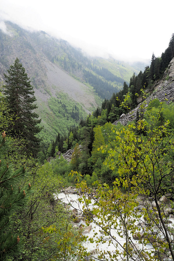
One hike was called ‘the cross walk’, a solid two hour walk up a very steep incline or a longer but easier walk up a road for eight kilometres to a religious cross. Further on there are three different coloured small lakes that afford great views. Unfortunately the weather was not conducive to this (despite looking forward to it) so an option was to walk to a nearby glacier.
The glacier itself can be reached after a four hour walk from town, passing through some quiet eroded areas and places where quarrying of the river stones was being undertaken, plus past a new hotel in an oddly less than desirable location and certainly not within easy walking distance of town.
An option was to take an overpriced taxi to the suspension bridge that marked the one-hour each way walk proper. With the weather very changeable, from scattered cloud to raining and cloudy again in the space of an hour, this was my preferred option, shared with two other travellers.
The taxi was a small Nissan Cube and three of us piled in. The nature of the road was more like a track (as is typical in Georgian roads – even in towns) and the poor vehicle bumped and scraped its way over the rocks and forded the small streams that ran down from the surrounding hills. Those who opted for the longer walk looked on in either envy or contempt at our choice to miss the first three hours walk.
The start point was a well-built suspension footbridge that started next to an impromptu little coffee shop made out of local materials and powered by a generator.
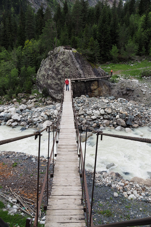
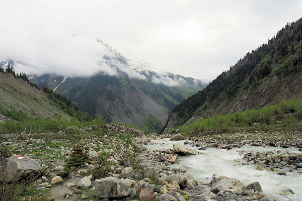
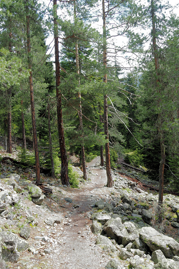
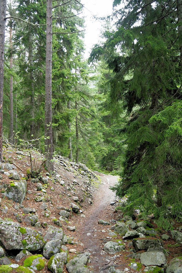
The track itself was clear and marked by orange and white paint on rocks, something that would be keenly sought out when the track entered areas of jumbled stone and no discernible pathway. For the first 20 minutes the path climbed through a delightful conifer forest with the ground covered in moss and some small purple flowers.
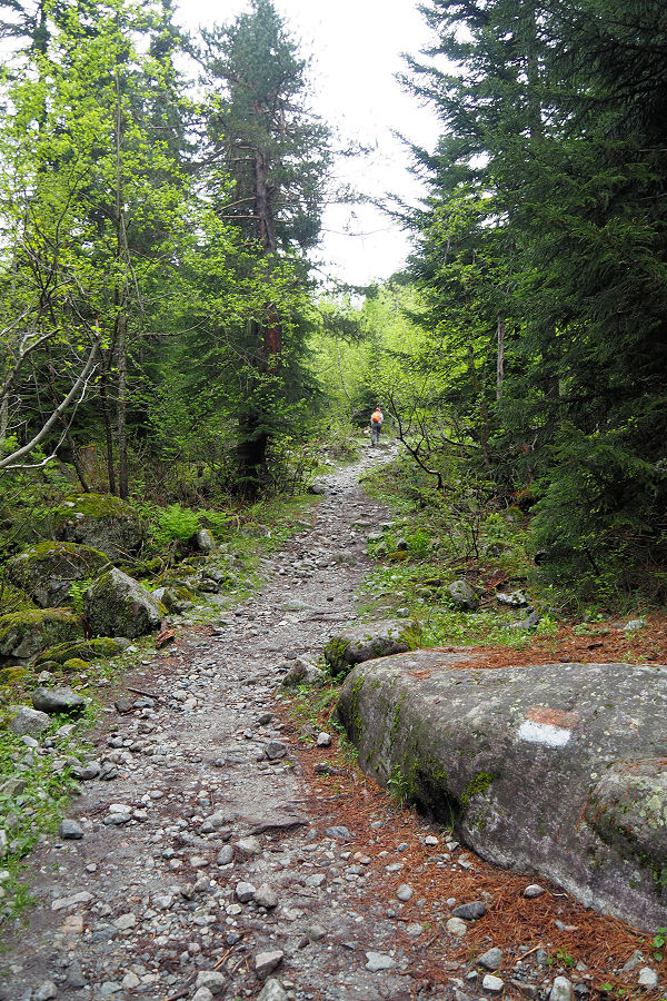
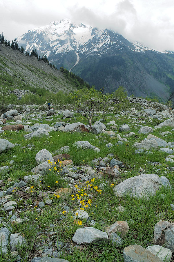
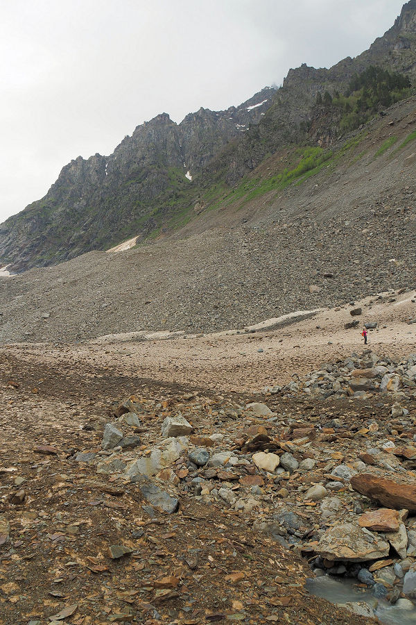
Further on the flora changed to silver birch before eventually petering out as the trail entered the glacial valley proper. While the start of the walk had been through gentle surroundings, now we were in a harsh inhospitable environment of old moraines and tumbling ice-cold water.
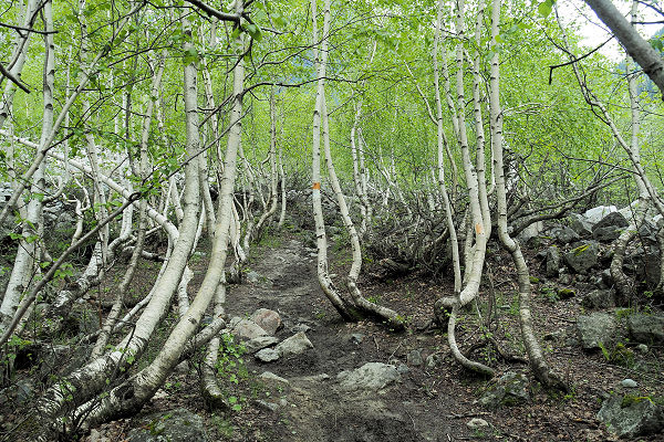
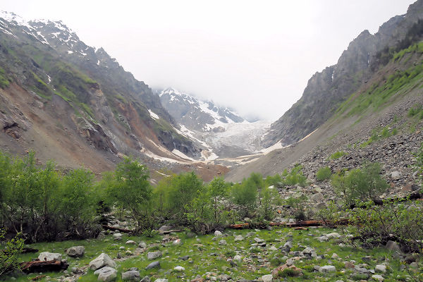
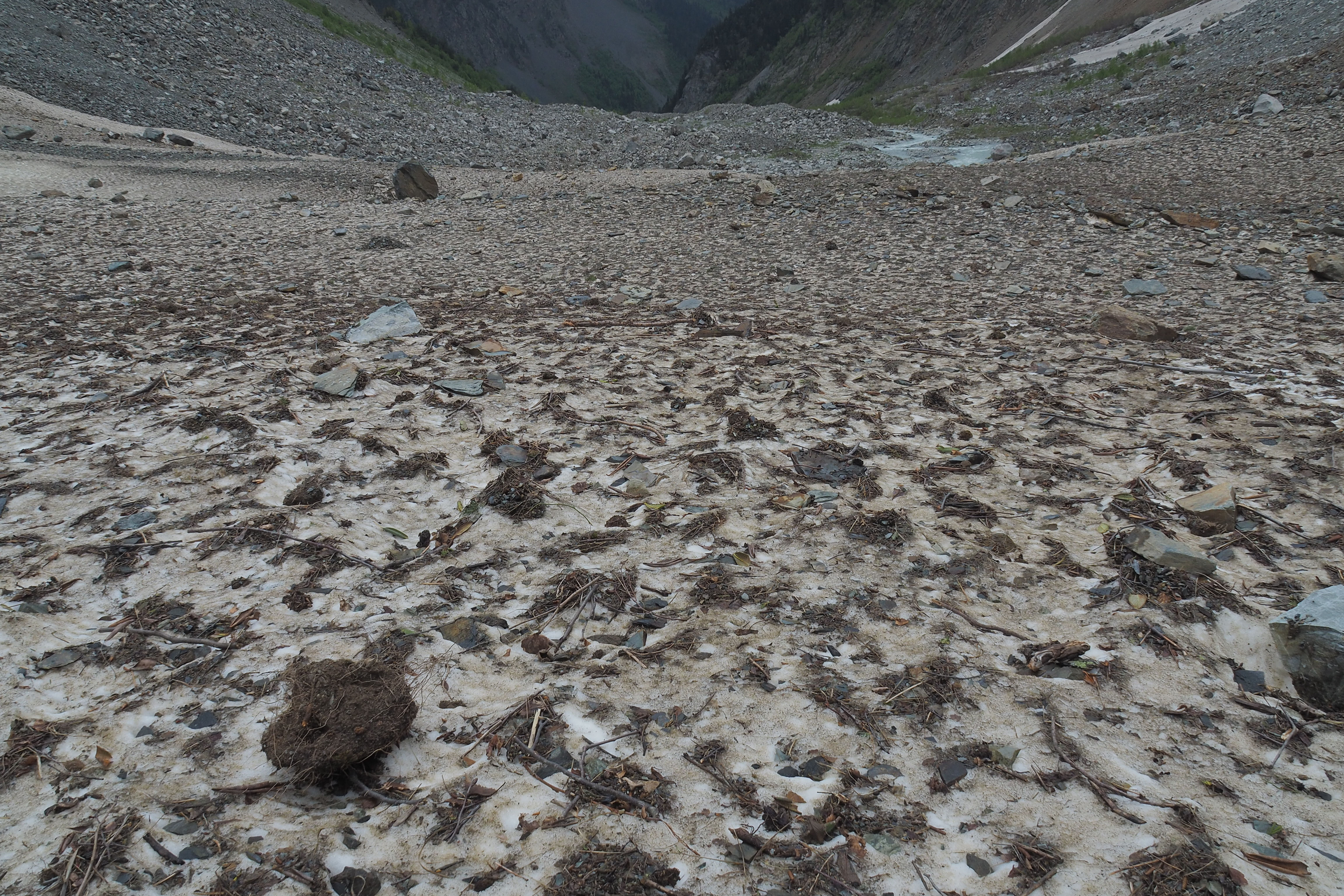
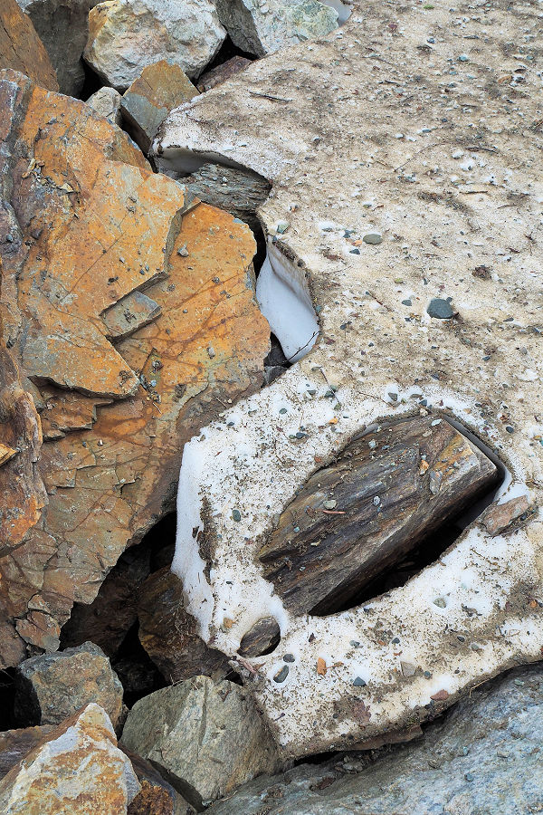
Clambering over rocks and alternating gravel the dirt covered snow tongue of the glacier was finally attained. It was rather insignificant compared to the towering ice further up the valley. My companions opted to climb the final moraine while I took extra photos. A later attempt to follow them was abandoned owing to the instability of the rocks and remembering the warning I had read about walking past the (now well passed) end of trail religious cross.
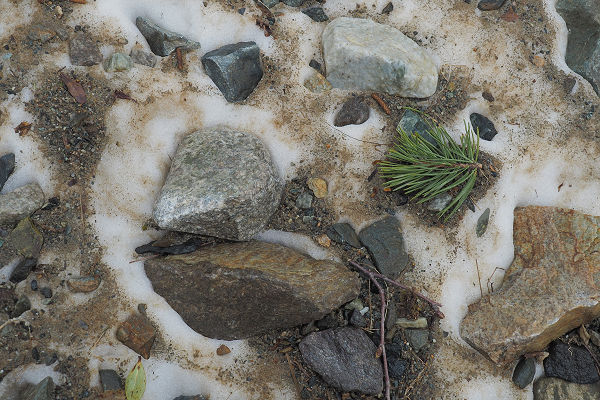
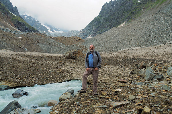


While slightly disappointed that the head of the glacier had been unobtainable, the walk was certainly worth the effort to see such a rapid change of landscape and I was happy to have the taxi driver’s number (though the reception was limited to a small area ) to avoid the three hour walk back to town.

