After a year away I returned today to the high country north of Tbilisi, to the region of Kazbegi and the Town of Stepantsminda. While only 109km in a direct line from the capital Tbilisi, it is 155km of often torturous winding road using the Georgian Military Highway that ascends a high mountain pass before descending to a still quite high 1740m village location.
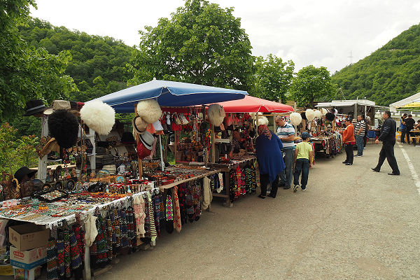
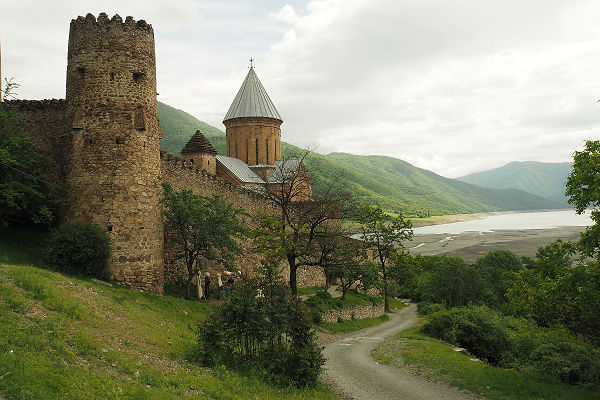
It is not until you pass the Church fortress of Ananuri that the real winding road starts. But a stop at Ananuri and its overpriced souvenir stands and food outlets is always something everyone on a tour seems to do. It’s also possible with the help of your guide, to get some locally (home) distilled ChaCha, or Georgian brandy often at up to 60% proof.
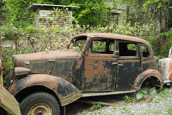
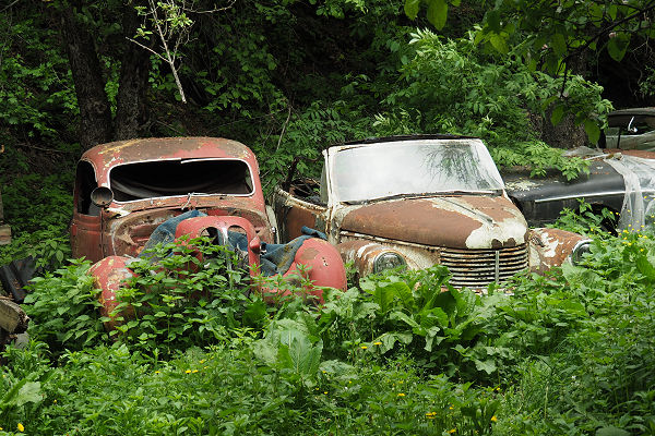
The road follows the river far into the towering hills, passing through small villages and hamlets, one with an odd, slowly rusting collection of old cars behind a fence and lining the road.
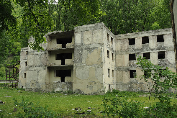
Across the road is an abandoned Soviet era holiday housing block where favoured workers could come and enjoy a relaxing period away from the daily grind.
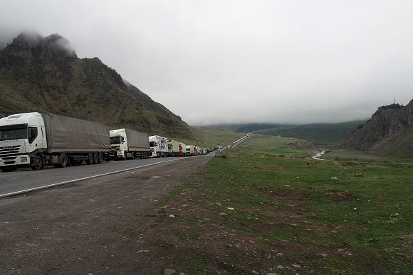
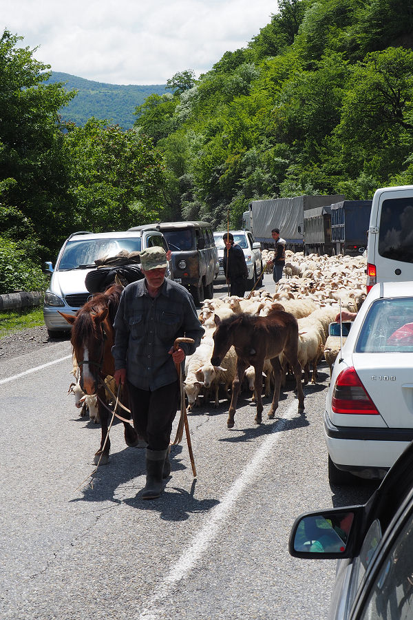
The highway steadily climbs through a series of twists and turns with an array of traffic ranging from top of the range Mercedes to 40 year old Russian built Lada and the ever present lumbering truck either struggling its way higher towards the Russian border, or enduring a brake screeching slow descent on its way to Tbilisi or perhaps even further south the Armenia.
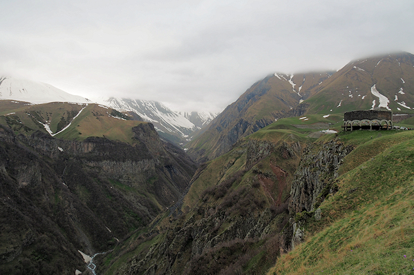
Another must-stop, and this was my second visit here, is the Russian-Georgian Friendship Memorial built by the Russians during Soviet times. I think there is something of an incongruity there! Last visit was warm and sunny, while this time I was the only idiot wearing a t-shirt in the cold conditions with pockets of winter snow still clinging to the landscape.
I rather suspect the memorial has been renovated since my last visit as the tiled mural seemed to be in better condition than last time. That said, people do not stop here to look at the memorial – it is the scenery that totally overpowers.
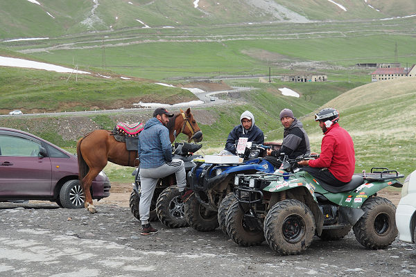
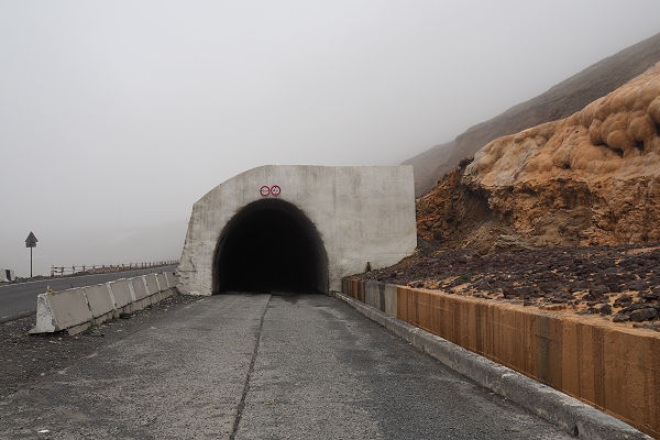
The road climbs and soon reaches it’s highest point at Cross Pass (any guesses as to why it is called that?) and the engine of the tour guide’s car starts to rattle even more in protest at the lack of oxygen.
The run down the other side reveals different scenery – a more mountainous feel despite the altitude being only 2000 metres.
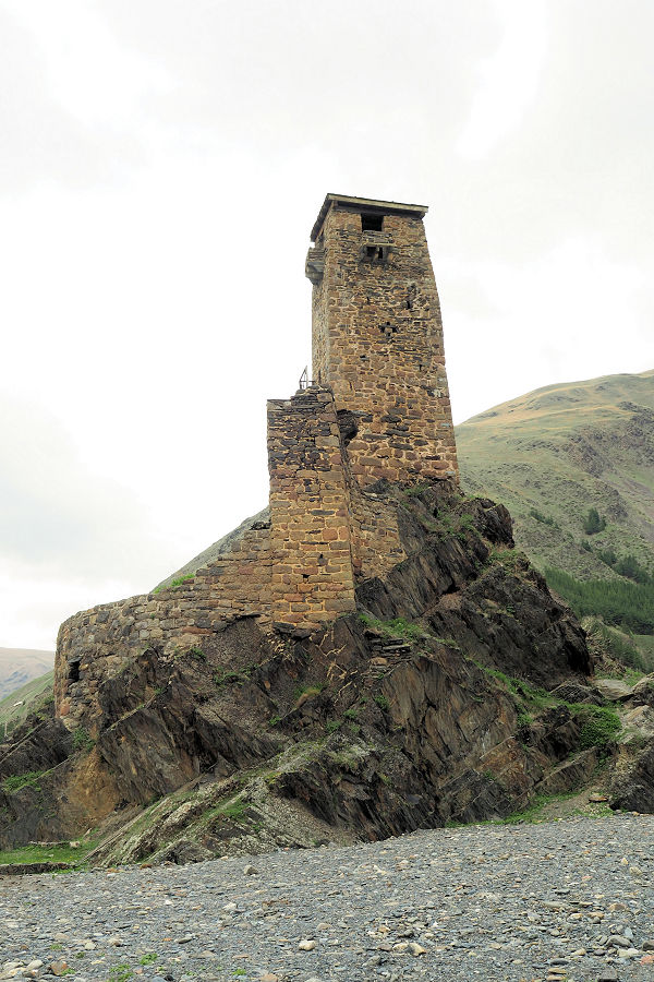
A popular bottled water brand in Georgia is called SNO, and surprisingly it comes from a village called Sno. A tiny outpost in a mostly treeless environment that other than the small bottling plant (the water is so good I don’t think it is even subject to any treatment) there is a cluster of homes, a church, and ancient watch tower (complete with its own spring) and a statue to the soldiers who kept the region safe in the distant history. Oh and some odd faces carved into granite, a bit like small version of the Easter Island statues.
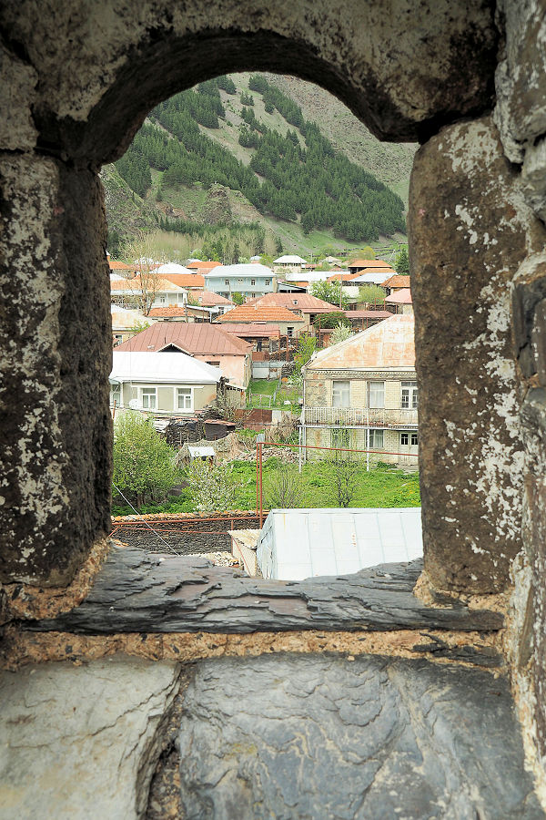
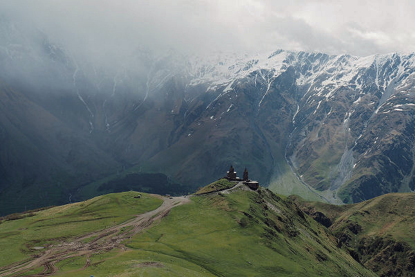
Finally to Kasbegi, so named because of the mountain nearby and a famous author writing about it. The quaint village of Stepantsminda has almost trebled in population in recent years to 6,000 people. Such is what tourism will do for a town. Why tourism, nothing more than the Gergeti Trinity Church.
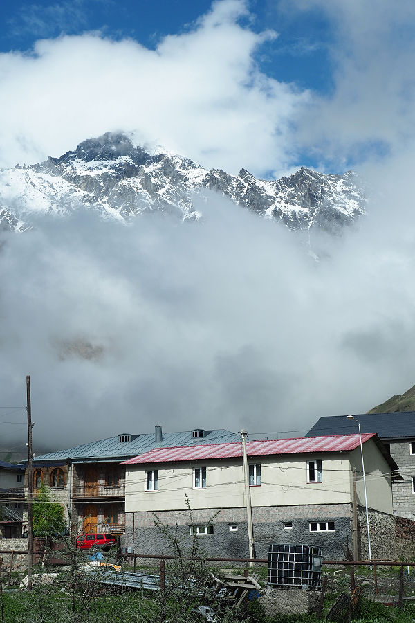
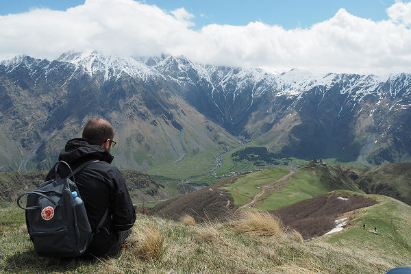
But it is the church, well really views of the church in is magnificently splendid isolation that really attract people. Don’t get me wrong, the church is nice, but so are many others in Georgia, and there are no shortage of them (in fact there is a revival in church building going on). Oh and the views of the mountains surrounding the town are pretty damned fine as well.
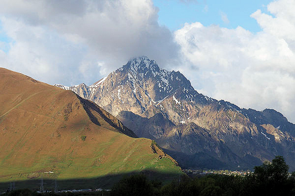
As the weather was not the greatest my traveling companions and I decided to take a 4WD taxi to the summit rather than walk up (a 2 hour journey on foot and a 25 minute ride in the vehicle). Note the fare was 40GEL A$20). Some taxis try to charge 70 GEL or more.
It was still raining on our arrival and after climbing higher on a ridge in blustery conditions, only a few dozen photos were ruined with water on the camera lens before the weather cleared.

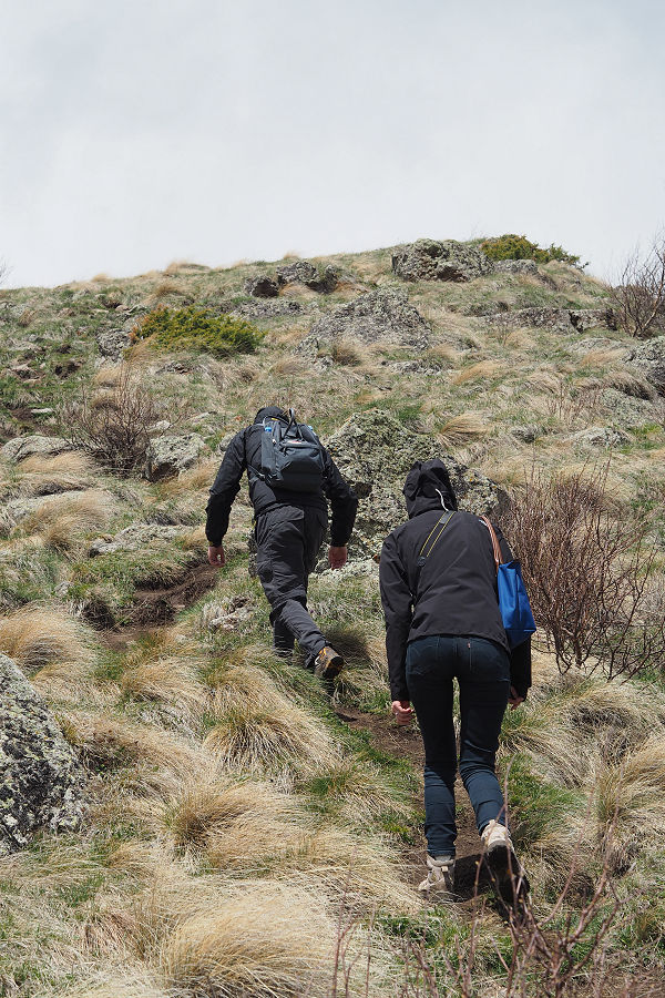
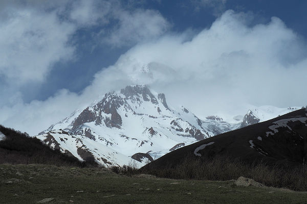
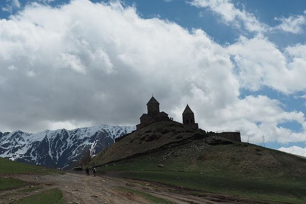
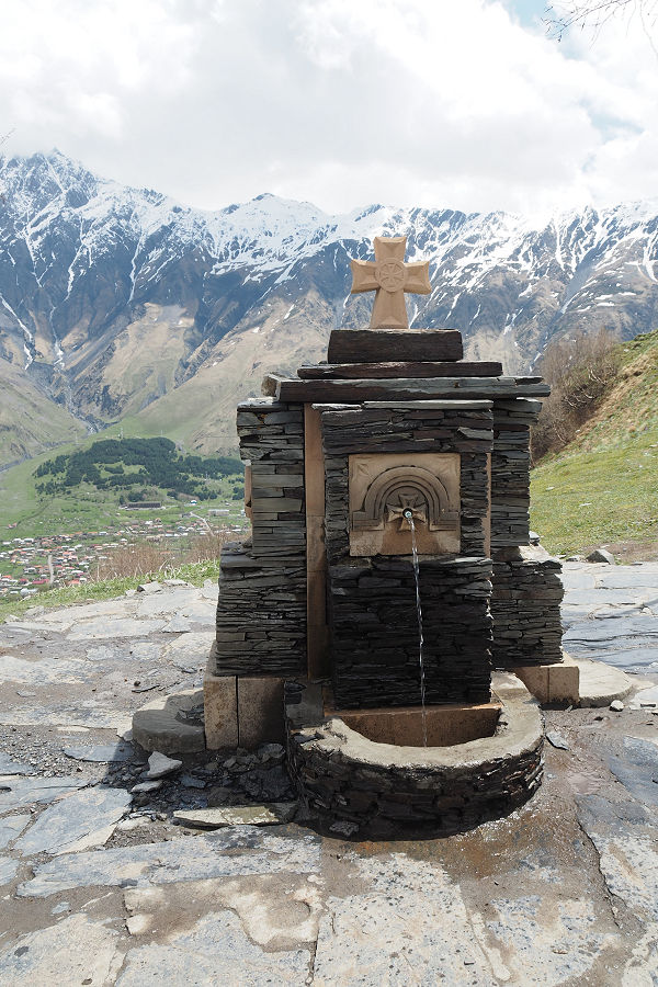
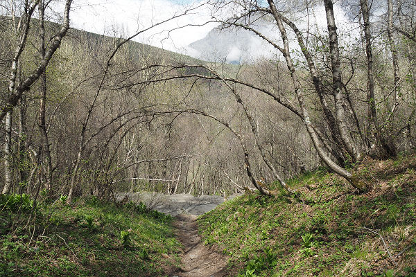
After lunch in a sheltered sunny corner or the courtyard of the church, we descended via the path (many walk the road which is 4km longer, but less steep and a lot less interesting) that asses through sections of forest and steep fields and wound our way back into the outer village, along the narrow paths and rough unmade streets that eventually brought us back to the village proper.
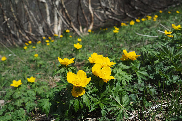
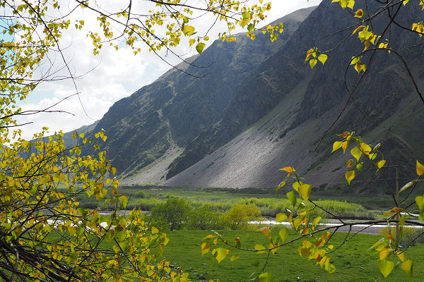
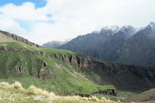
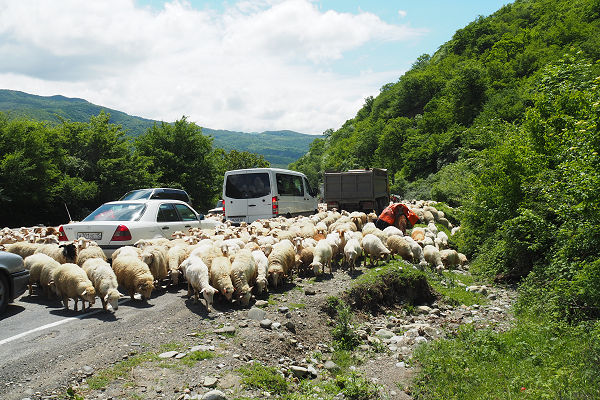
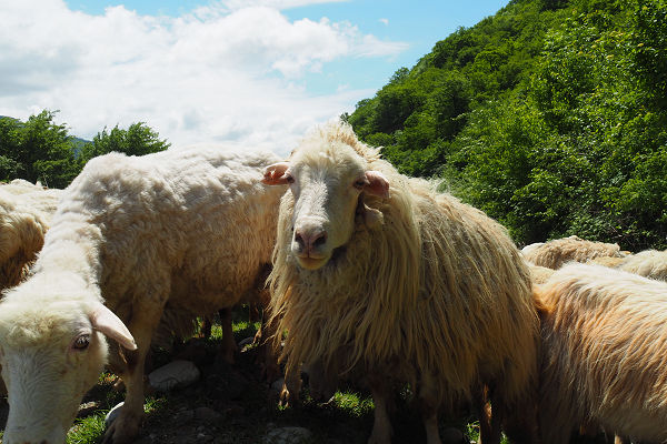
The following day saw many new things as the photos here show.
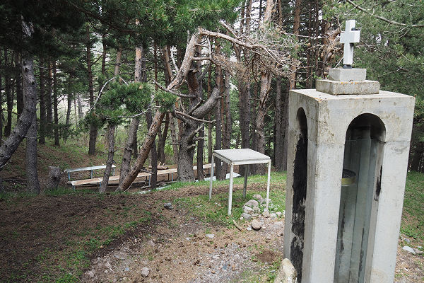
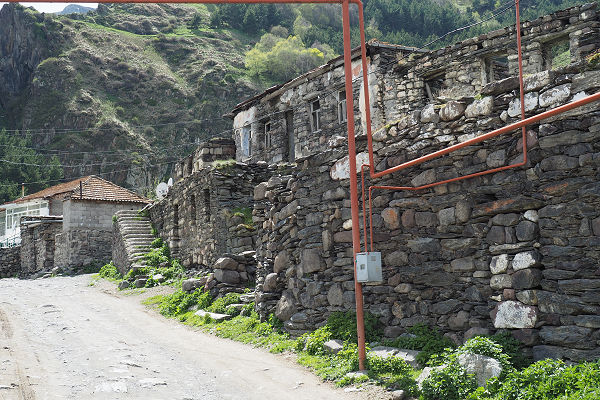
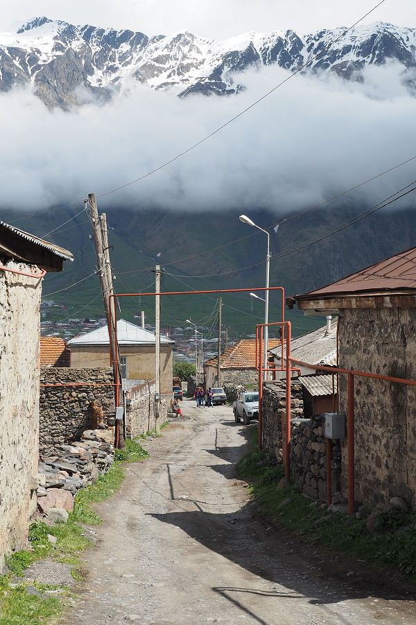
The journey back the following day held its own interesting views as well….

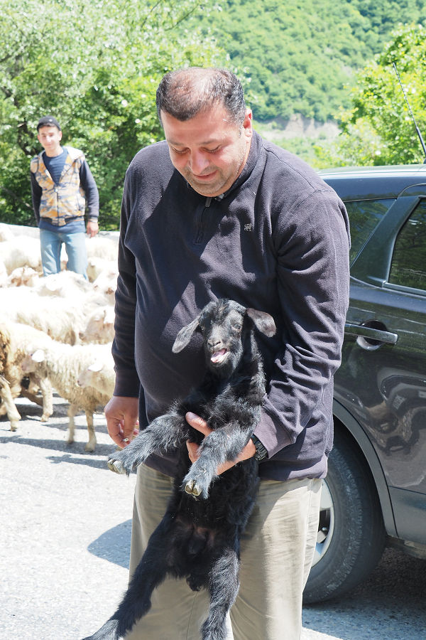
Our fun and informative travel guide was Big George